File:Richmond-San Rafeal Bridge.jpg
From iGeek

Size of this preview: 600 × 600 pixels. Other resolutions: 240 × 240 pixels | 480 × 480 pixels | 768 × 768 pixels | 1,200 × 1,200 pixels.
Original file (1,200 × 1,200 pixels, file size: 197 KB, MIME type: image/jpeg)
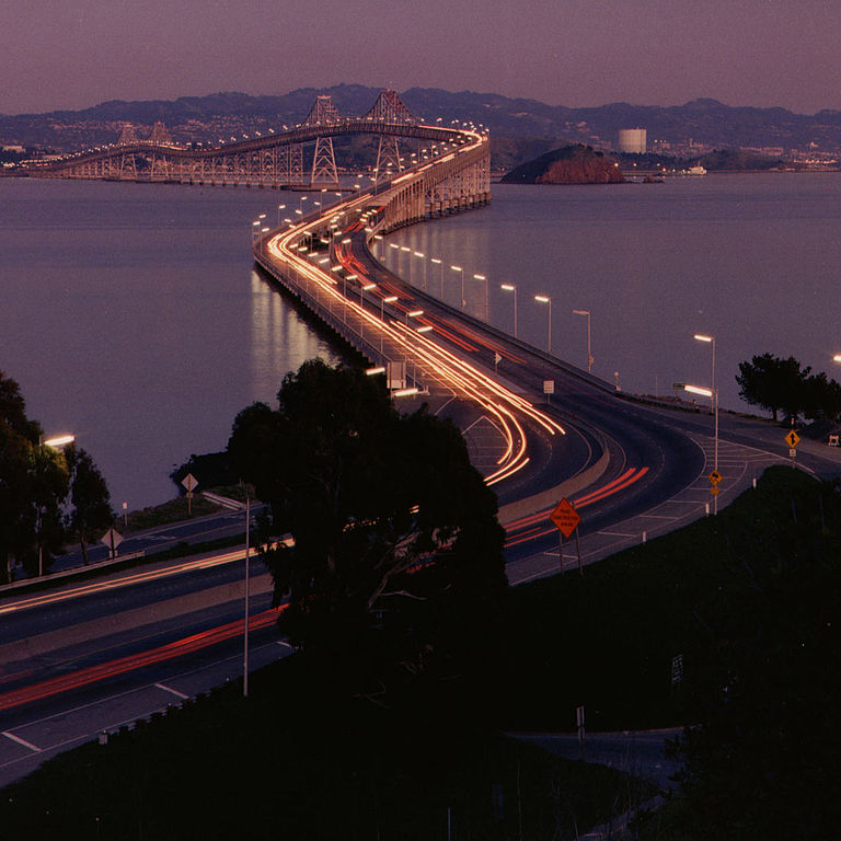
| Description | Richmond-San Rafael Bridge facing east. | ||||||
| Source | http://www.dot.ca.gov/hq/traffops/hwybrdg/tollbridge/History/richmond.html | ||||||
| Author | Caltrans staff | ||||||
| Permission (Reusing this file) |
From the Caltrans web site is this posting:
There is no indication that this is a copyrighted work that requires additional permission.
|


| Camera location | | View this and other nearby images on: OpenStreetMap |
|---|
File history
Click on a date/time to view the file as it appeared at that time.
| Date/Time | Thumbnail | Dimensions | User | Comment | |
|---|---|---|---|---|---|
| current | 18:18, 26 July 2006 | | 1,200 × 1,200 (197 KB) | WikiLeon | {{Information |Description= |Source=http://www.dot.ca.gov/hq/traffops/hwybrdg/tollbridge/History/richmond.html |Date= |Author= |Permission=From the Caltrans [http://www.caltrans.ca.gov web site] is [http://www.caltrans.ca.gov/conditions.htm this posting]: |
File usage
The following page uses this file: